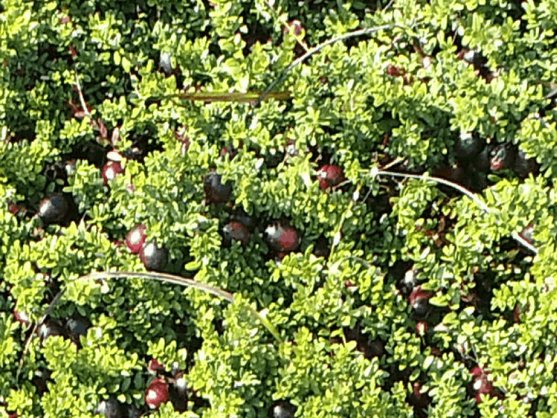
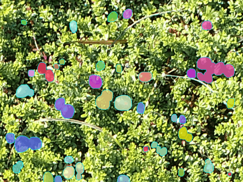
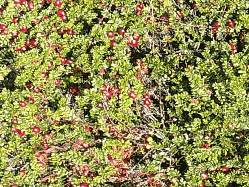
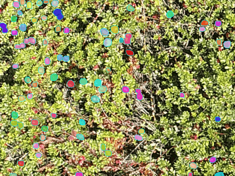
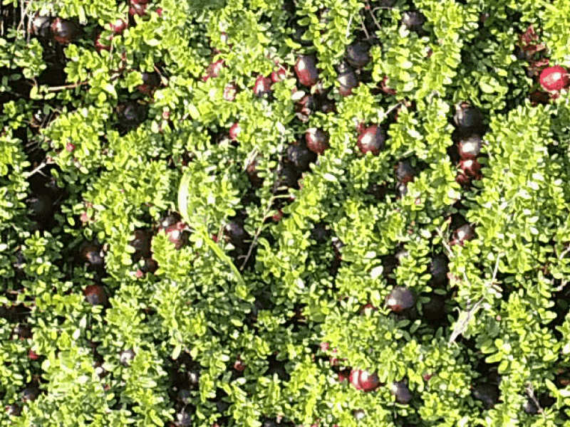
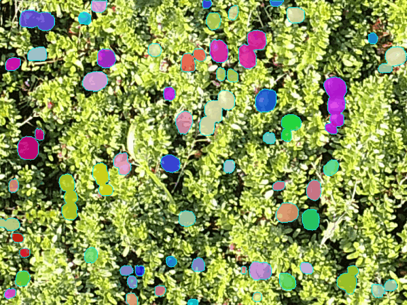
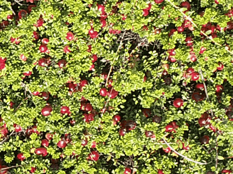
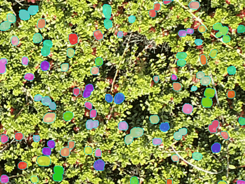
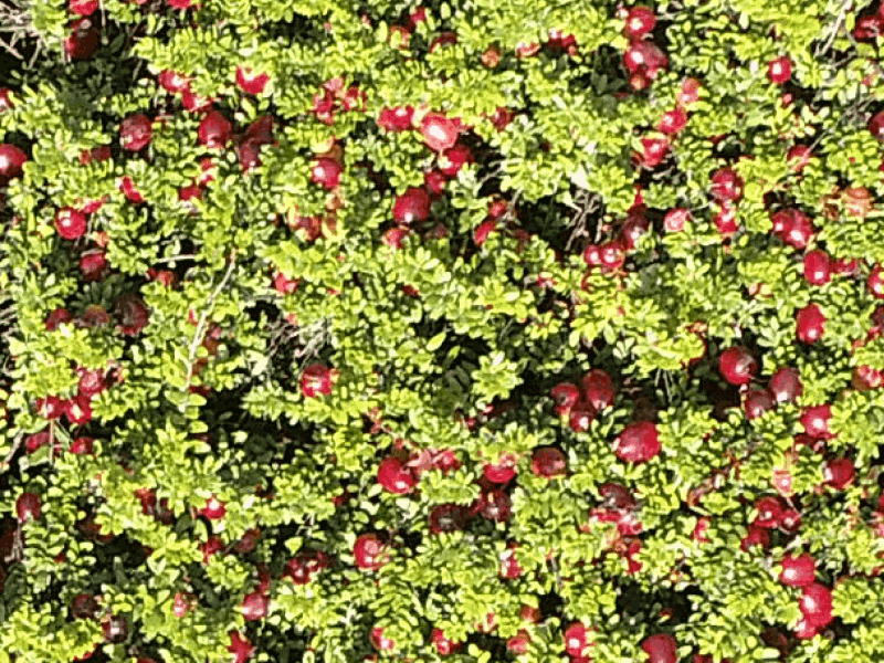
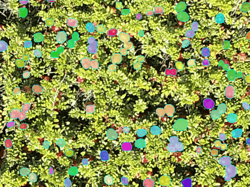
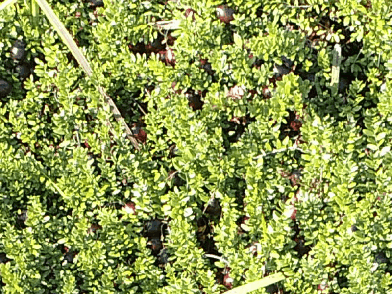
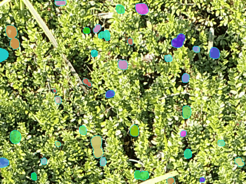
Full dataset contains 21,436 cranberry images of size 456x608. Images were collected using a Phanthon 4 drone from a smal range of altitutdes with manually fixed camera settings: 100 ISO, 1/240 shutter speed, and 5.0 F-Stop. Data was collected at weekly intervals to capture albedo variations in cranberries.
Annotation procedure include center points and berry-wise annotations. Center points locate cranberry centers with equal number of background points. Background points are annotated at random locations, as far as possible from nearby cranberry annotations. Berry wise annotations are fully supervsied labels tht account for cranberry occlusion. While only visible cranberries are labeled, if there is an occluded part, it is estimated.
CRAID has an average of 39.22 cranberries per image, with minimum count of 0 and maximum count of 167. A single image covers roughly 1 square foot area.
The dataset is available through this link.
Full dataset contains 1,906 cranberry multispectral images of size 512x512. Images were collected using a Phanthon 4 drone from a small range of altitutdes.
The dataset is available through this link.
CRAID-3 is a collection of 28,440 cranberry images of size 256×256 of aerial multi-spectral (RGB+NIR+RE) imagery of cranberry fields. Data was collected using a Phantom 4 drone with a multi-spectral sensor from a altitudes range of 5-8 meters. Similar to CRAID 1, drone trajectory is fixed throughout the collection season using initial randomly sampled path points, and camera calibration images were collected (checkerboard and Macbeth chart). CRAID 3 is also made publicly available and the dataset does not have annotations at this stage. The dataset is available through this link.